The Traversée du Massif Vosgien, Alsace, France
Distance
252 Mi.
(406 KM)Days
6
% Unpaved
85%
% Singletrack
2%
Total Ascent
31,941'
(9,736 M)High Point
4,096'
(1,248 M)Difficulty (1-10)
5?
- 8Climbing Scale Strenuous127 FT/MI (24 M/KM)
- -Technical Difficulty
- -Physical Demand
- -Resupply & Logistics
Contributed By
Nicholas Carman
Gypsy by Trade
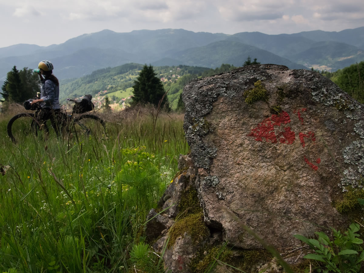
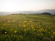
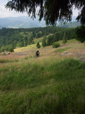
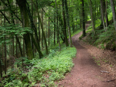
The Traversée du Massif Vosgien (TMV) rises from Wissembourg near the German border, traveling south through three distinct zones of the Vosges Mountains, ending in Thann. The route connects mostly unpaved forest roads, some pavement, and a few brief moments of narrow trail. While fitness is necessary for daily climbs and descents, the route is entirely rideable, even with a camping load. Plan to visit town during the day and climb to spectacular campsites in the evening.
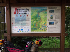
The route was designed by the Alsacien chapter of the FFCT (French Cycle-Touring Federation) in 2005, and on-trail signage of white placards and orange TMV lettering is nearly enough to keep you on track. Keep your eyes open at crossroads to stay on route, although a few signs may be missing and there are a few unexpected turns (i.e. from a well-travelled road onto a trail) Extensively detailed guide materials were available, but are currently out of print. Digital files for the maps are available for free download here.
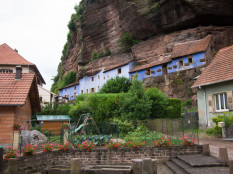
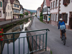
Along the way, discover the rural agrarian life, which is still alive and well in France. Discover managed forests, and the castles, churches and monasteries within. Ride high in the southern Vosges through mapped segments called Les Lacs (the lakes) and La Crete (the crest). Stock up on Alsacien wine, cheese, cured meats, and produce.
Submit Route Alert
As the leading creator and publisher of bikepacking routes, BIKEPACKING.com endeavors to maintain, improve, and advocate for our growing network of bikepacking routes all over the world. As such, our editorial team, route creators, and Route Stewards serve as mediators for route improvements and opportunities for connectivity, conservation, and community growth around these routes. To facilitate these efforts, we rely on our Bikepacking Collective and the greater bikepacking community to call attention to critical issues and opportunities that are discovered while riding these routes. If you have a vital issue or opportunity regarding this route that pertains to one of the subjects below, please let us know:
Highlights
Must Know
Camping
Food/H2O
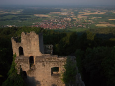
- Spend time in Wissembourg, the Mont Sainte Odile monastery, Château du Bernstein, and the mountain lakes in the south.
- French bakeries, Alsacien wines, cheese, and charcuterie.
- Fun dirt road descents.
- The entire route is signed with small white placards and orange TMV lettering and a detailed map and guide is available online, in French.
- Espace Cycles in Wissembourg is a good place to visit for bike-related supplies, with a friendly staff that is aware of the route.
- The TMV begins and ends along regional Alsace TER train lines, which readily accept bikes and enable swift transport to Strasbourg and other cities.
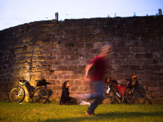
- In most places, wild camping is relatively easy once a few kilometers from town, especially in forest plots managed by the French government.
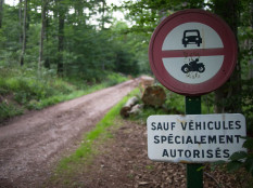
- Some forests roads are gated for a traffic-free ride and peaceful rest.
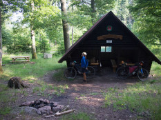
- Hiking shelters may provide cover from rain. Guesthouses called gîtes are sometimes available, especially near touristic towns or near one of several ski areas.
- Food and lodging opportunities are designated on the maps.
- You’ll never need to carry more than a day of food, and most of the time you’ll see small stores or restaurants several times daily.
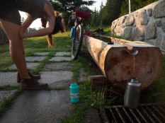
- Springs and water sources are frequently available along the route, so a few water bottles will suffice for a hot afternoon on the bike or an overnight camp.
- Cemeteries in Europe are often a source for water, and springs may be found at the town center in the mountains.
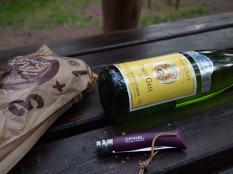
- Bread and pastries, charcuterie, and fresh produce are always worth tasting in France. Local delicacies include Alsacian wines and cheeses, including famous regional white wines and cheese from the Munster Valley.
Terms of Use: As with each bikepacking route guide published on BIKEPACKING.com, should you choose to cycle this route, do so at your own risk. Prior to setting out check current local weather, conditions, and land/road closures. While riding, obey all public and private land use restrictions and rules, carry proper safety and navigational equipment, and of course, follow the #leavenotrace guidelines. The information found herein is simply a planning resource to be used as a point of inspiration in conjunction with your own due-diligence. In spite of the fact that this route, associated GPS track (GPX and maps), and all route guidelines were prepared under diligent research by the specified contributor and/or contributors, the accuracy of such and judgement of the author is not guaranteed. BIKEPACKING.com LLC, its partners, associates, and contributors are in no way liable for personal injury, damage to personal property, or any other such situation that might happen to individual riders cycling or following this route.
Please keep the conversation civil, constructive, and inclusive, or your comment will be removed.


